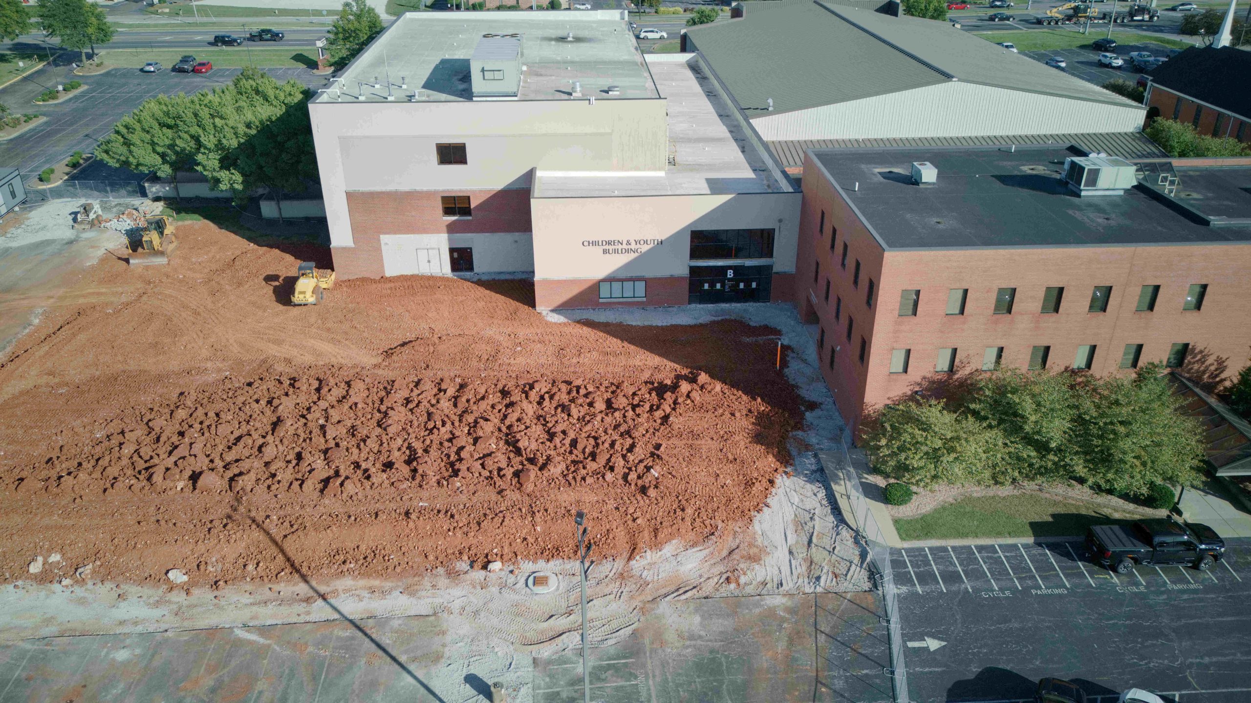
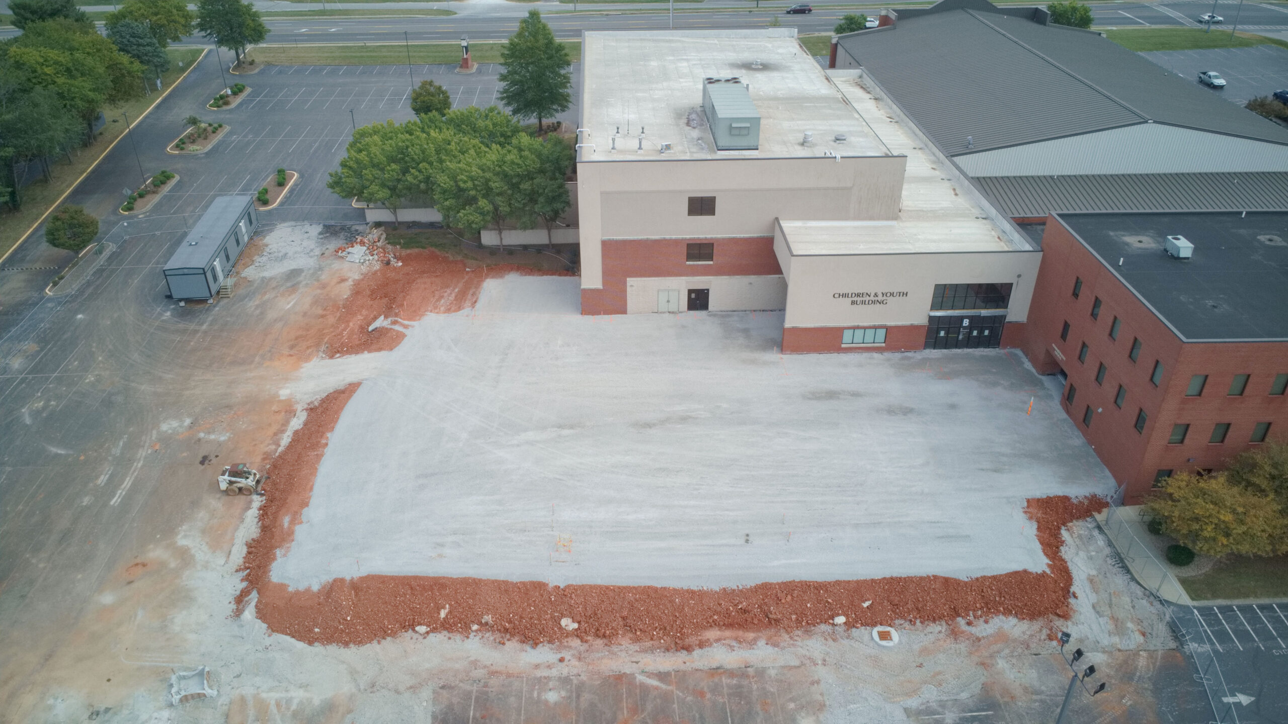
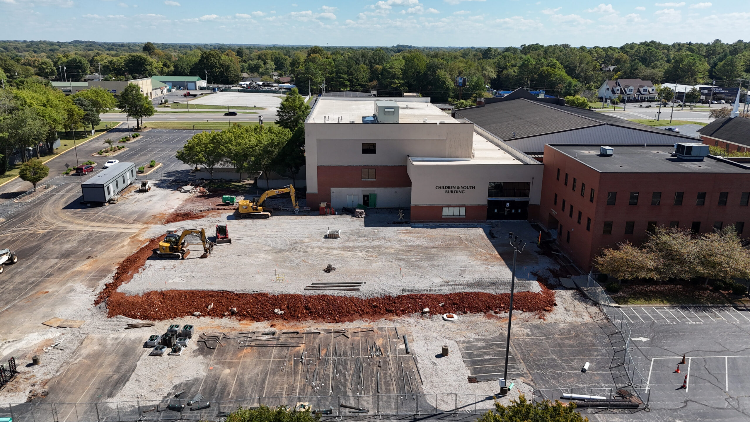
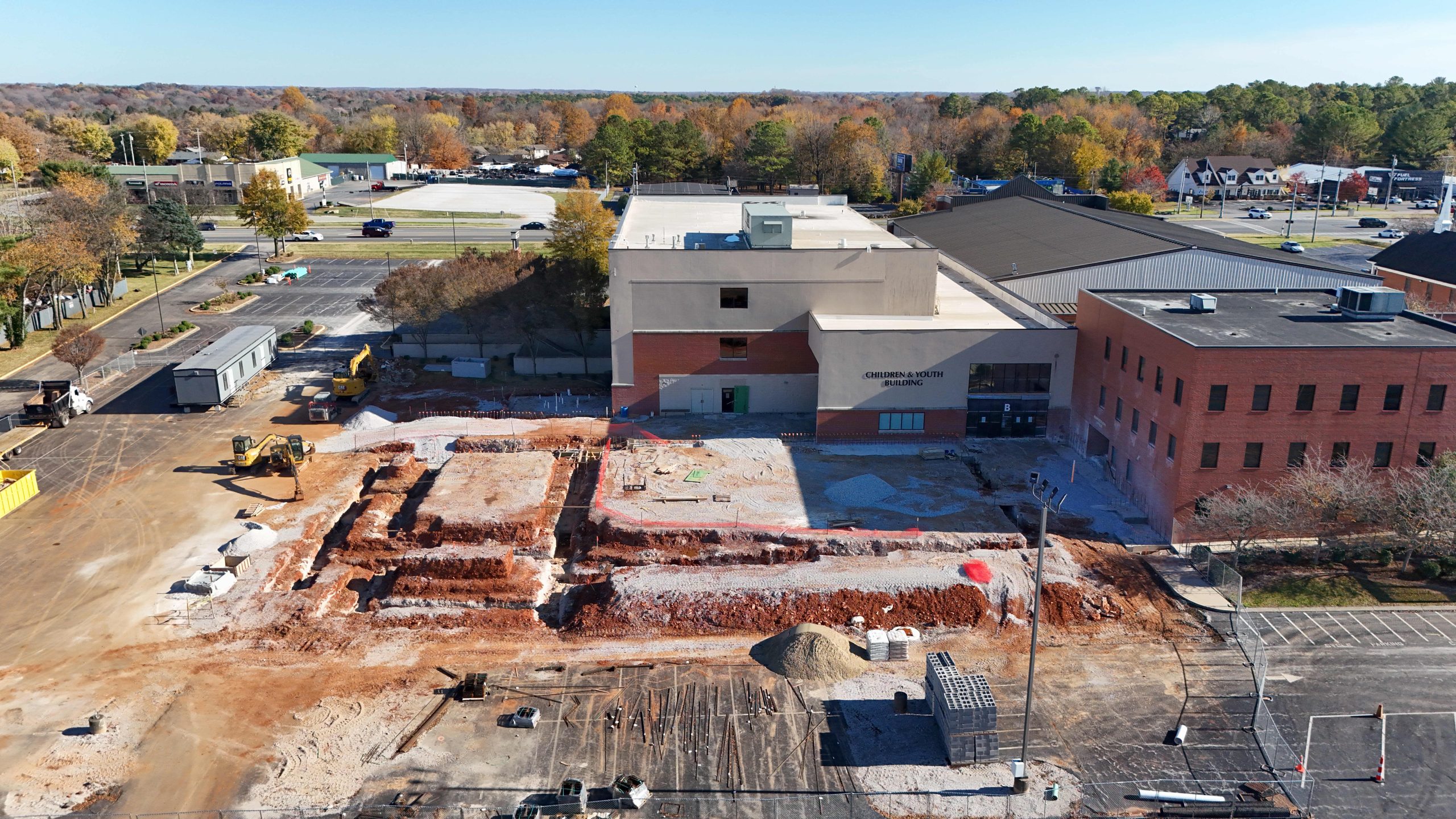
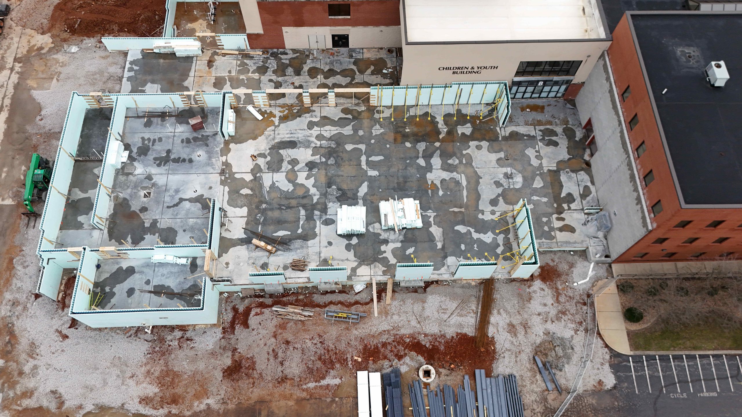
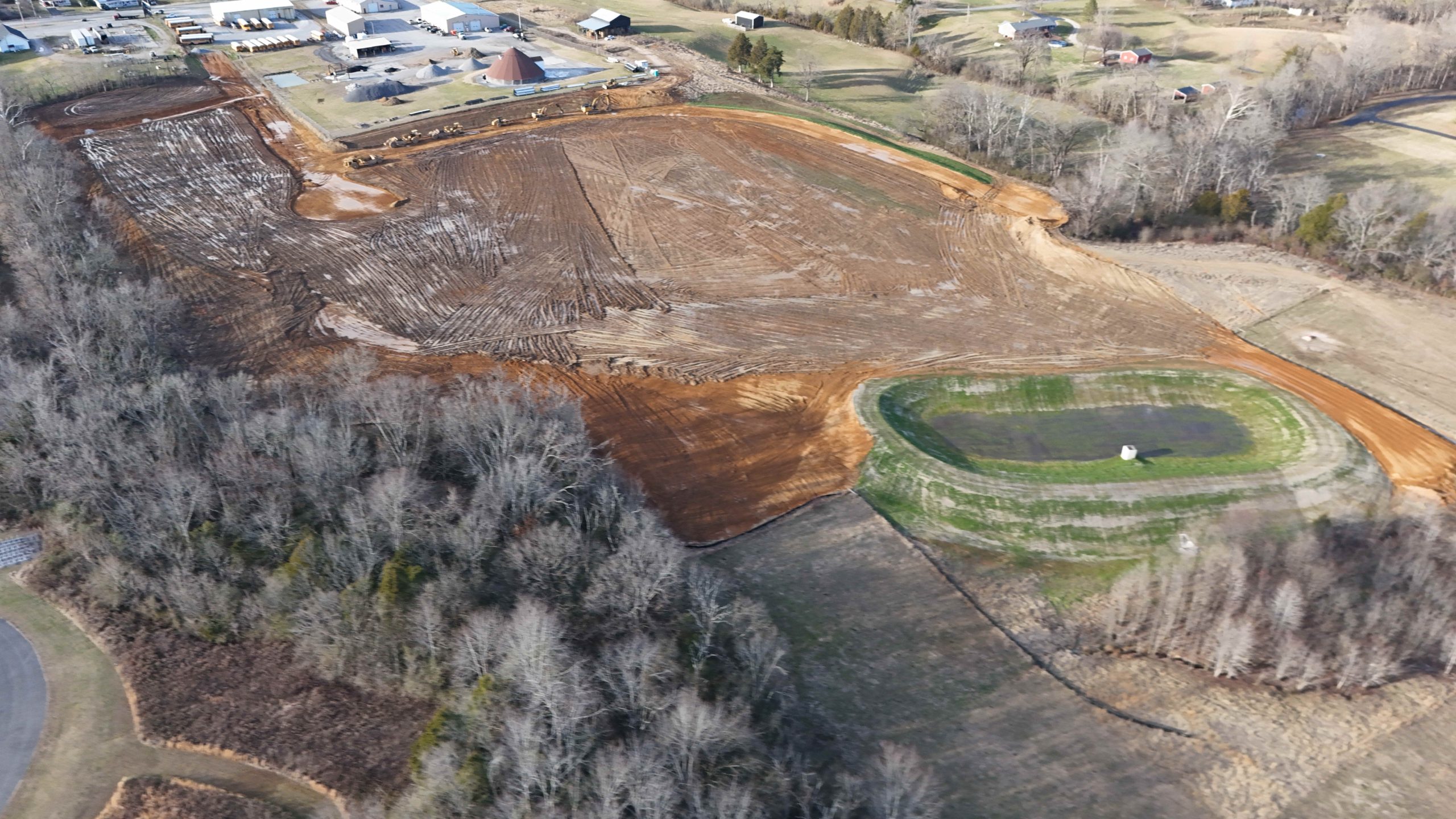
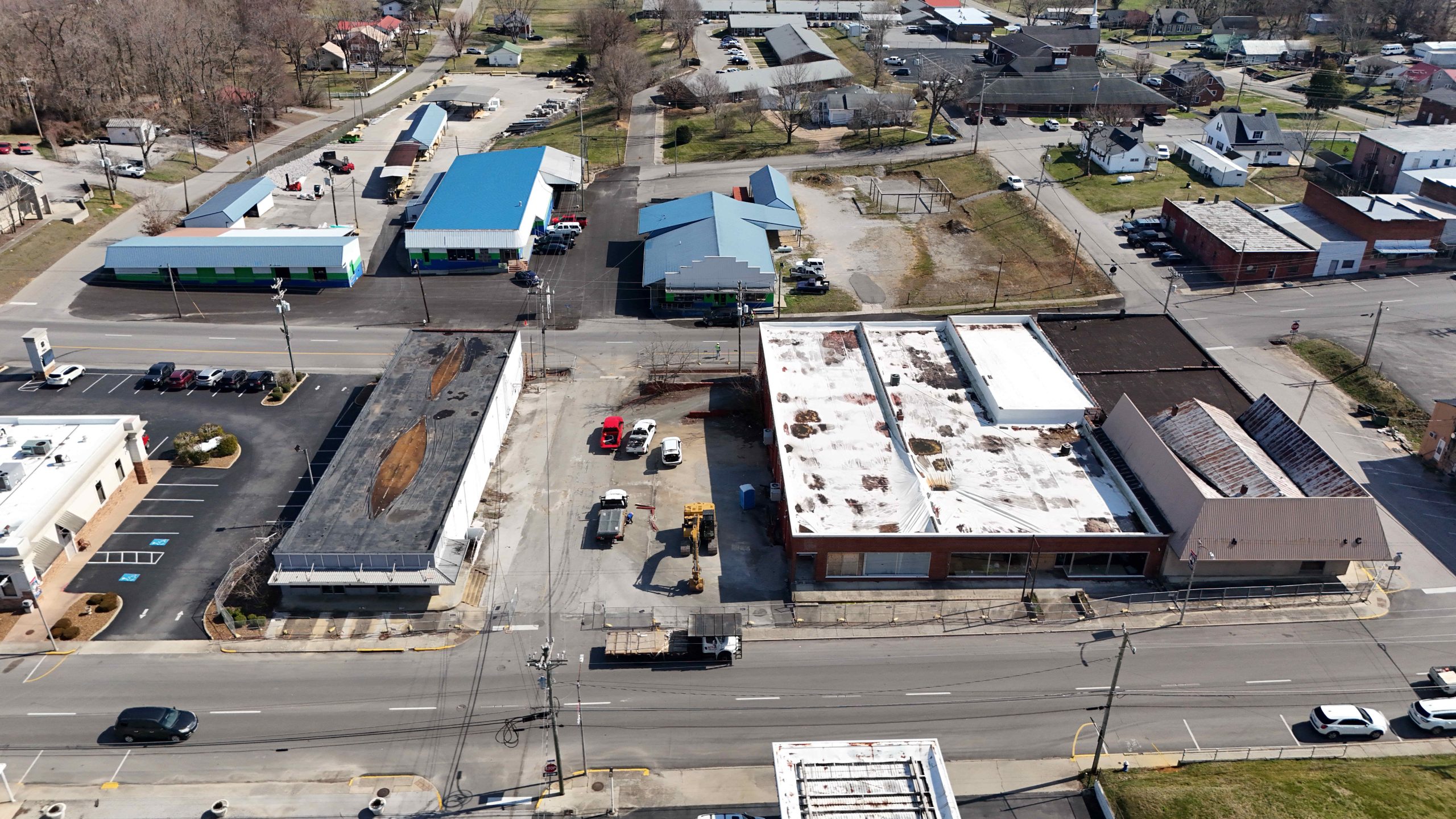
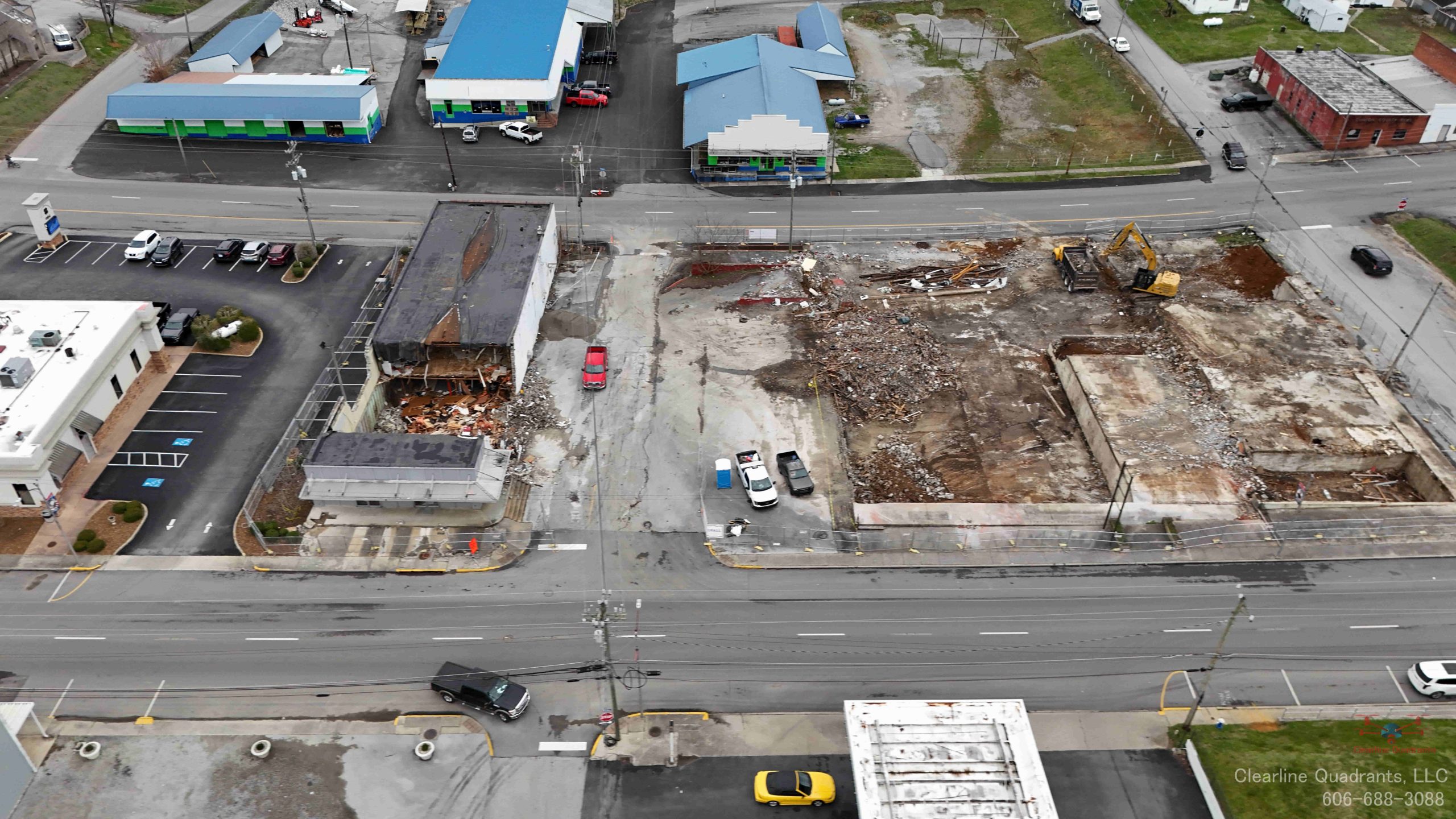
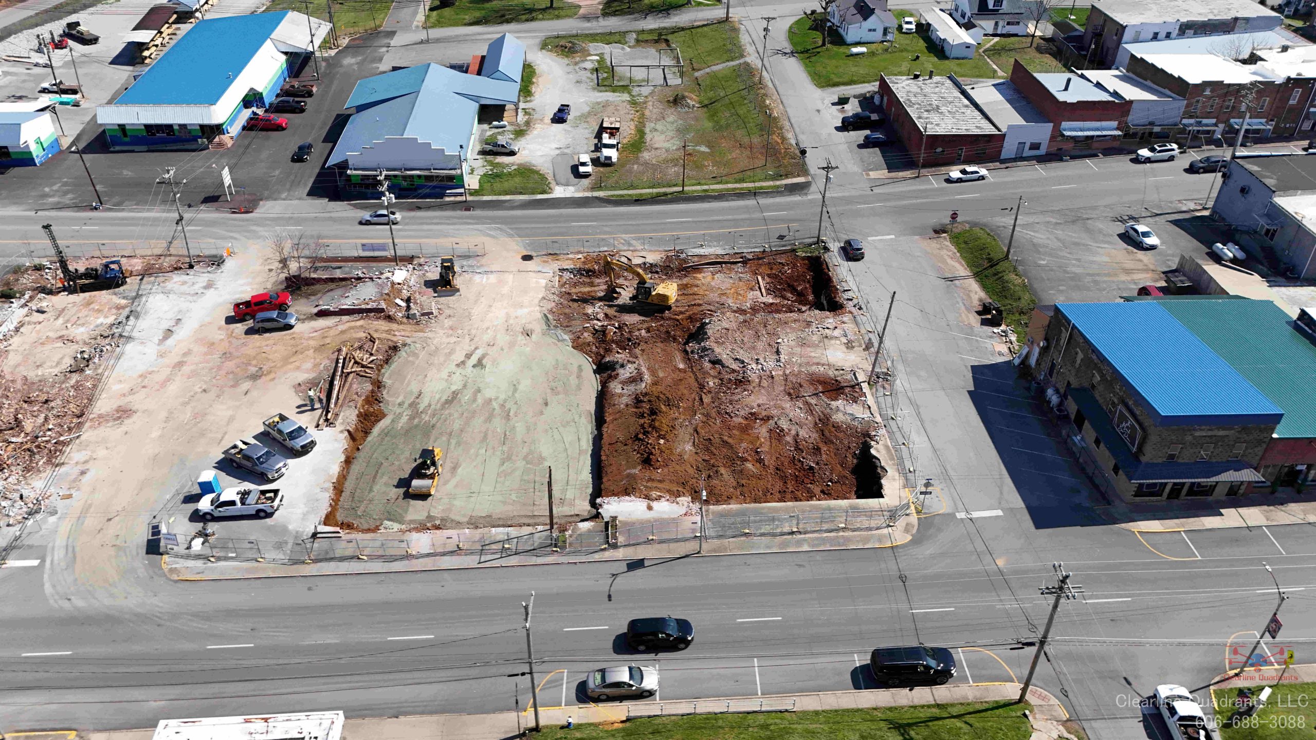
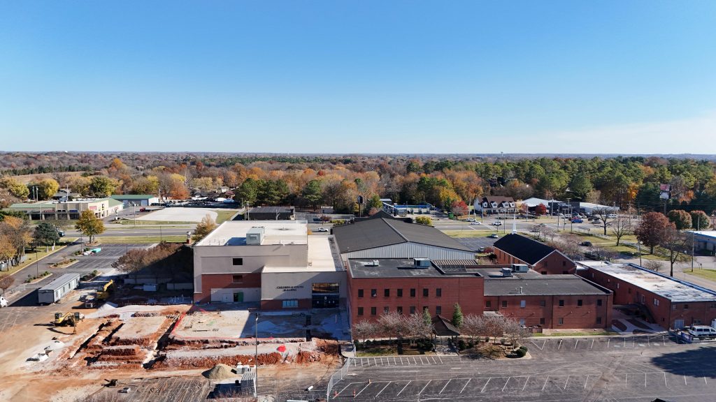
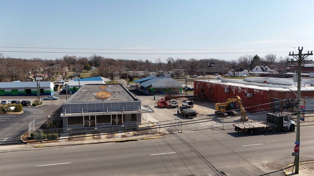
Clearline Quadrants

Construction Projects

Page under Development

Welcome to Clearline Quadrants, LLC – your go-to source for professional drone construction services. Our experienced pilots and construction professionals use state-of-the-art drones to provide accurate and detailed assessments of construction sites.

With our advanced cameras and mapping technology, we can capture detailed images and measurements of your site, helping you make informed decisions about your construction project. Our drones are also equipped with the latest safety features, ensuring that our services are performed safely and efficiently.

In addition to construction site assessments, our drones can also be used to inspect industrial structures, survey land, and more. Whether you’re a construction company, engineer, or architect, we have the skills and expertise to meet your needs.

So if you’re in need of professional drone services for your construction project, don’t hesitate to contact us at Clearline Quadrants, LLC. We’d be happy to discuss your needs and see how we can help bring your project to the next level.

Our Qualification

Using Drones on Your Construction Site

Drones can be a useful tool on construction sites for tasks such as surveying, inspecting buildings and structures, and capturing aerial footage for progress documentation. They can save time and money by reducing the need for manual labor and allowing for more efficient site management. However, it is important to follow all relevant laws and regulations, including obtaining proper certifications and licenses and ensuring the safety of all personnel on-site.

Video of Examples

Our 2D and 3D maps are not survey grade accurate, they are only estimates.  A licensed land surveying company should be contacted if exact measurements are needed.  

Construction Progress Reporting

Construction progress reporting involves regularly documenting and communicating the progress of a construction project to stakeholders. Drones can be a useful tool for this purpose by providing aerial footage and images of the construction site. This can help stakeholders visualize the project’s progress and identify any potential issues. Drones can also be used to create 2D orthomosaic maps of the construction site, which can be helpful for tracking progress and identifying potential problems.

We fly the construction site in the same pattern on every site visit.  By flying the same pattern we can create data that shows the progress of the construction project.

Video of Examples

Our 2D and 3D maps are not survey grade accurate, they are only estimates.  A licensed land surveying company should be contacted if exact measurements are needed.  

Examples of Our Work